East Anglia Postcode Sector Wall Map Postcode Sector Map 9 | Desertcart Portugal
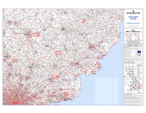
East Anglia Postcode Sector Wall Map- Postcode Sector Map 9 - Laminated Wall Map With Motorway, A' Roads, B' Roads, City Plans, Area, District, Sectors
5.0/5
Product ID: 101574728
Secure Transaction
Frequently Bought Together
Description
East Anglia Postcode Sector Wall Map- Postcode Sector Map 9 - Laminated Wall Map With Motorway, A' Roads, B' Roads, City Plans, Area, District, Sectors
Common Questions
Trustpilot
TrustScore 4.5 | 7,300+ reviews
Suresh K.
Very impressed with the quality and fast delivery. Will shop here again.
4 days ago
Ayesha M.
The product exactly matches the description. Very satisfied with my purchase.