Description
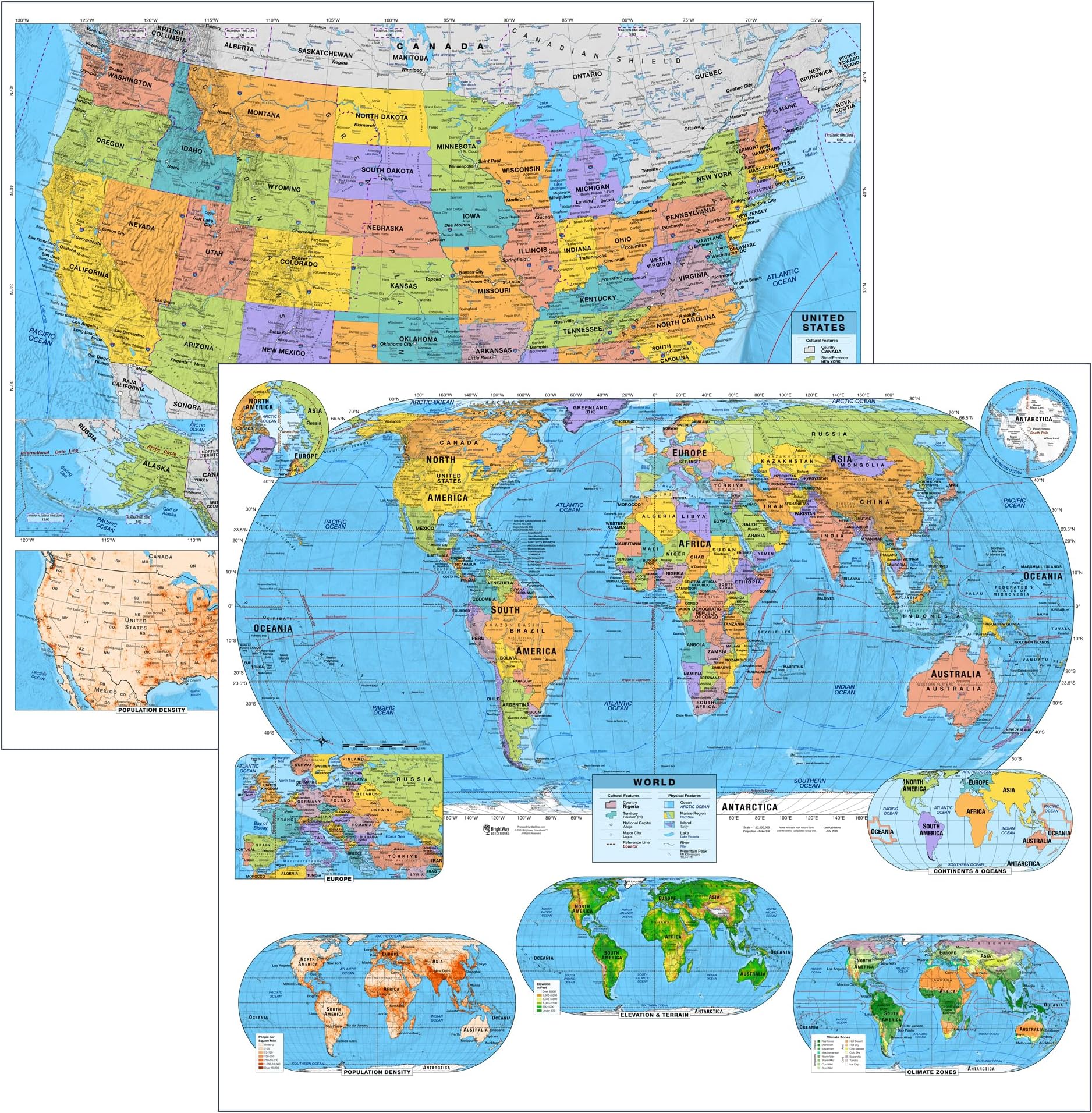
🌐 Elevate your classroom with maps that make every detail unforgettable!
- DURABLE ENGAGING - Laminated, large-format maps built to withstand classroom use while sparking curiosity and critical thinking.
- CLASSROOM READY CLARITY - Bright, vivid colors and large fonts make complex geography instantly accessible for grades 9+.
- ADVANCED GEOGRAPHIC PRECISION - Accurate equal-area projections and shaded relief bring terrain and political boundaries to life.
- CUSTOMIZABLE EDUCATIONAL PANELS - Choose panels on population density, elevation, and climate zones to deepen geographic insight.
- COMPREHENSIVE POLITICAL PHYSICAL DATA - Includes capitals, major & secondary cities, disputed borders, ocean currents, and bathymetric relief.
The US & World Advanced Political Classroom Map Pack by BrightWay Educational features two large, laminated 36"x30" maps designed for grades 9 and up. Utilizing precise Eckert IV and Albers Equal Area projections, these maps combine vivid colors, shaded relief, and detailed political and physical geography—including capitals, cities, disputed borders, ocean currents, and bathymetric relief. Customizable educational panels on population density, elevation, and climate zones enhance learning depth. Durable and visually engaging, this set is ideal for high school and college classrooms aiming to boost geographic literacy and global awareness.