Desert Online General Trading LLC
Dubai, United Arab Emirates
Desert Online General Trading LLC
Dubai, United Arab Emirates
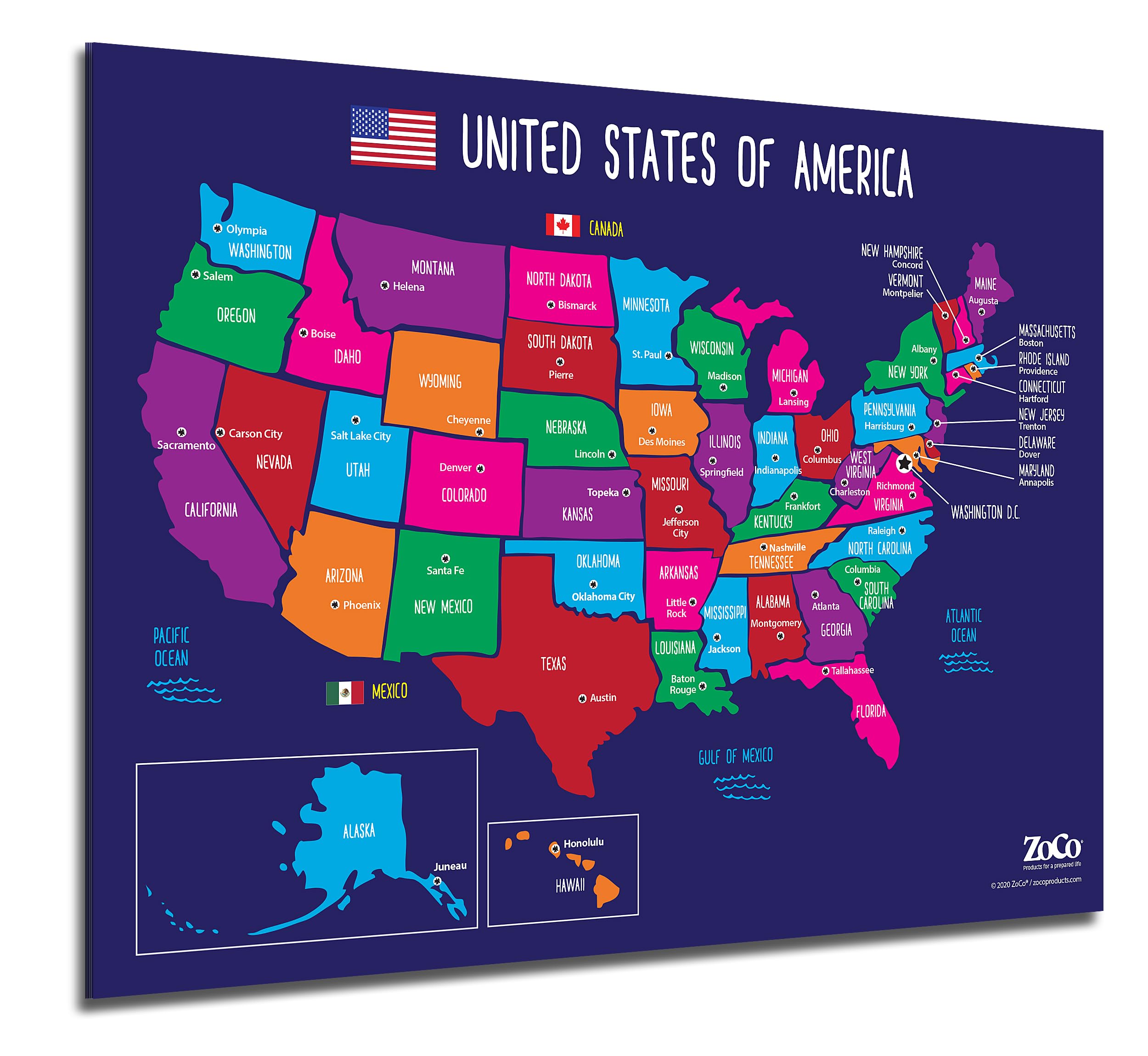


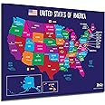
🗽 Elevate your space with the ultimate U.S. map that teaches, inspires, and lasts!
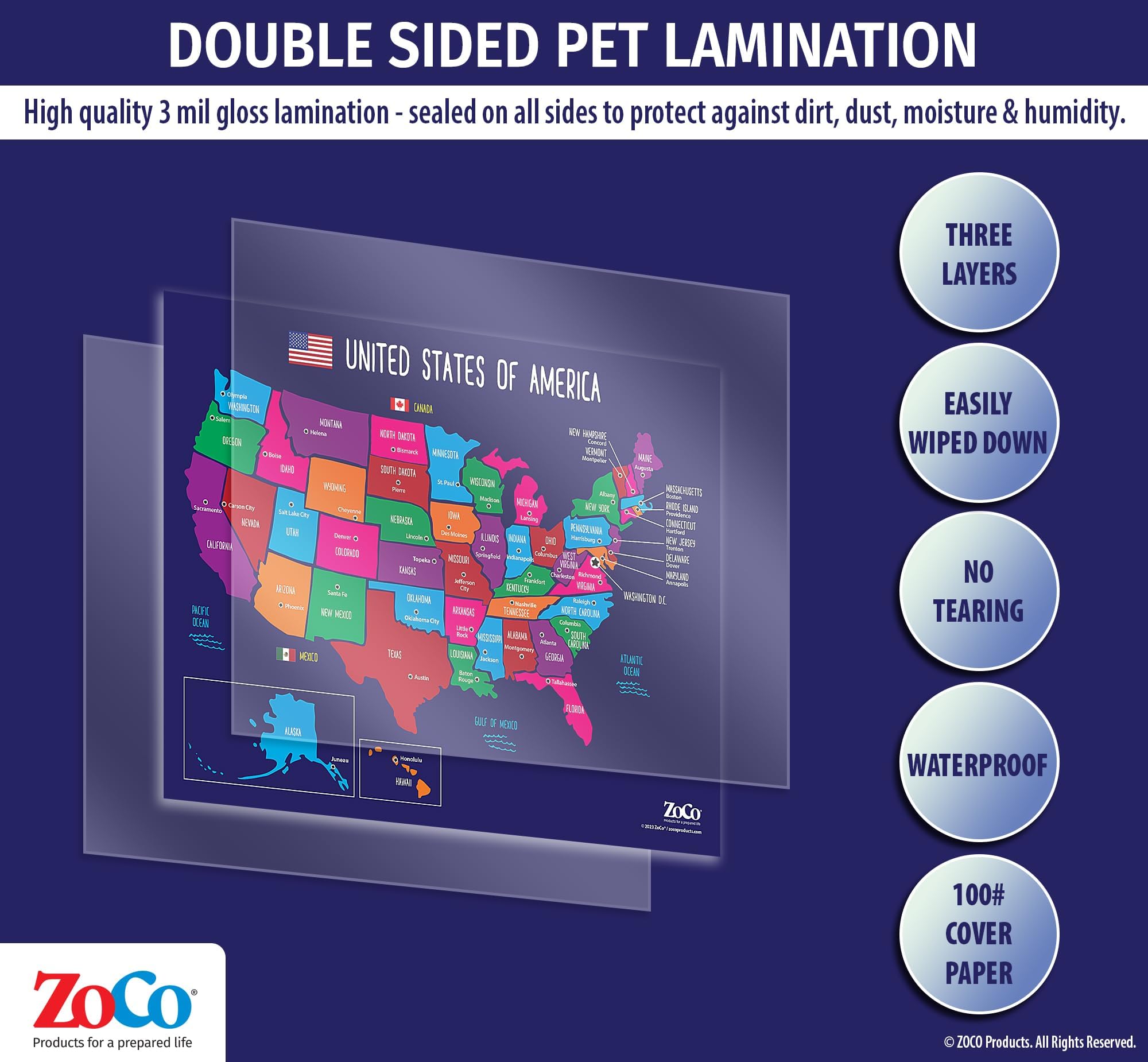
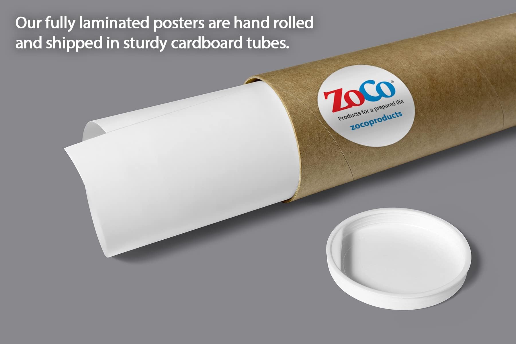
The ZOCO United States Map with Capitals Poster is a vibrant, laminated 17x22 inch educational tool featuring all 50 states, capitals, Washington, DC, and major bodies of water. Designed for durability and visual learning, it’s perfect for classrooms, homeschoolers, and study areas. Proudly made in the USA and shipped in protective packaging, it combines functionality with lasting quality.


Trustpilot
2 days ago
1 month ago